Hiking Routes
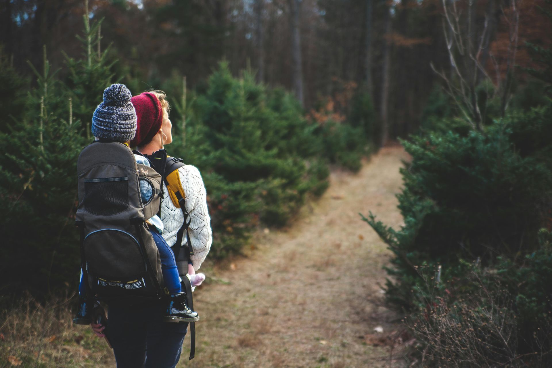
Hiking Routes
Hiking guide to Mallorca organised by level: easy walks, moderate routes, advanced hikes and long-distance routes through natural parks.
Hiking safety
Before you set out
Distances and times are approximate. Check the weather forecast, trail conditions and access restrictions before setting out. Carry water, wear suitable footwear and keep your phone charged. In an emergency, call 112.
Easy walks and routes
Parc Natural de Mondragó
Santanyí
- Difficulty:
- Easy
- Duration:
- Between 15 and 60 minutes depending on the itinerary
- Type:
- Circular
The park offers several short, official waymarked itineraries through pine woods, farmland and coves in the south of the island.
⚠️ Natural terrain with unshaded stretches: bring water and sun protection if walking with children.
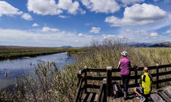
Parc Natural de s'Albufera
Muro / sa Pobla
- Difficulty:
- Easy
- Duration:
- Several itineraries of differing length
- Type:
- Several itineraries
Flat, waymarked walks through Mallorca's most important wetland, with bird hides spread across the area.
⚠️ Check at the reception centre which itineraries are open on the day of your visit.
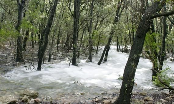
Ses Fonts Ufanes
Campanet
- Difficulty:
- Easy
- Duration:
- Short walk from the estate entrance
- Type:
- There and back
Short walk through the holm-oak wood of the public Gabellí Petit estate to the natural monument of the springs.
⚠️ The springs only flow after enough rainfall, so there may be no water during your visit.
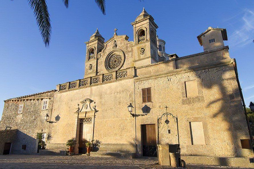
Puig de Bonany
Petra
- Difficulty:
- Easy to moderate
- Duration:
- 2–2.5 hours there and back
- Type:
- There and back
Walk up from Petra along country tracks to the Bonany sanctuary, with wide views over the Pla de Mallorca.
⚠️ The sanctuary can also be reached by car; this entry describes the walk up from Petra.
Puig de Maria
Pollença
- Difficulty:
- Easy to moderate
- Duration:
- 2–2.5 hours there and back
- Type:
- There and back
Uphill, partly cobbled path from Pollença to the Puig de Maria sanctuary, with views over the bay.
⚠️ The climb is continuous and the cobbles are slippery when wet: wear footwear with good grip.
Moderate routes
Camí des Correu
Esporles – Banyalbufar
- Difficulty:
- Moderate
- Duration:
- About 2 h 40 min (7.6 km one way)
- Type:
- Linear
Historic postal path between Esporles and Banyalbufar, with cobbled sections and Tramuntana woodland. It is part of the GR 221.
⚠️ This is a linear route: plan your return or transport from Banyalbufar before setting out.
Cala Bóquer
Port de Pollença
- Difficulty:
- Easy to moderate
- Duration:
- 1.5–2 hours there and back
- Type:
- There and back
Walk through the Bóquer valley, between rock walls, down to a sheltered cove popular with birdwatchers.
⚠️ There is almost no shade and the final stretch is stony and uneven.
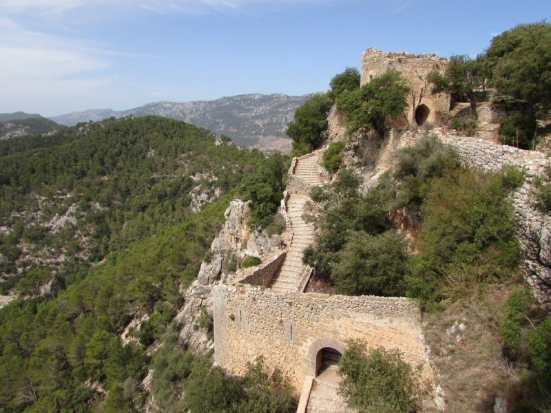
Castell d'Alaró
Alaró
- Difficulty:
- Moderate
- Duration:
- 1.5–2 hours there and back from Es Verger
- Type:
- There and back
Cobbled climb from the Es Verger area up to the rock castle, with views over the plain and the Tramuntana.
⚠️ The access road to Es Verger is narrow and demanding. This time does not cover the full route from Alaró village, which is considerably longer.
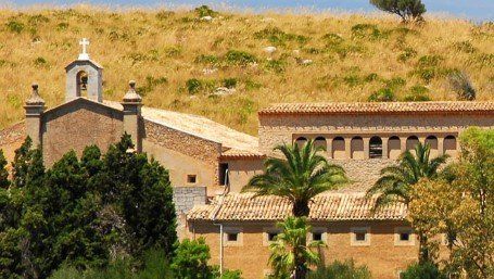
Ermita de Betlem
Artà / Betlem
- Difficulty:
- Moderate
- Duration:
- 2.5–3 hours there and back depending on the starting point
- Type:
- There and back
Path up to the 19th-century hermitage in the Artà hills, with views over the bay of Alcúdia.
⚠️ There is ascent, natural terrain and considerable sun exposure: it is not a simple stroll for small children.
Sa Trapa
Sant Elm
- Difficulty:
- Moderate
- Duration:
- 3–4 hours there and back
- Type:
- There and back
Route from Sant Elm to the former monastic site of Sa Trapa, with continuous views towards sa Dragonera.
⚠️ Uneven terrain and very little shade; avoid the middle of the day in summer.
Barranc de Biniaraix
Sóller / Biniaraix
- Difficulty:
- Moderate
- Duration:
- 3–4 hours for a partial there-and-back walk
- Type:
- There and back
Traditional cobbled path climbing the ravine between terraces, olive groves and dry-stone bridges.
⚠️ It has several variants of differing length: decide how far to climb and return the same way. Continuous ascent.
Talaia d'Alcúdia
Alcúdia (Ermita de la Victòria)
- Difficulty:
- Moderate to demanding
- Duration:
- 3–4 hours
- Type:
- There and back
Climb from the Ermita de la Victòria up to the watch point, with panoramas over the bays of Pollença and Alcúdia.
⚠️ Rocky terrain with some exposed sections. Not advisable for small children or anyone who suffers from vertigo.
Advanced hiking
Sa Costera
Sóller – Cala Tuent
- Difficulty:
- Demanding
- Duration:
- 5–6 hours
- Type:
- Linear
Long traverse along the northern Tramuntana coast between old stone buildings, olive terraces and cliffs.
⚠️ This is not an easy coastal stroll: it demands good fitness and a planned return transport, as it is a linear route.
Puig de Galatzó
Es Capdellà / Puigpunyent
- Difficulty:
- Demanding
- Duration:
- 4.5–5.5 hours depending on the itinerary
- Type:
- Circular
Ascent of one of the most recognisable peaks of the Serra de Tramuntana, over mountain terrain with significant ascent.
⚠️ Requires previous mountain experience, proper navigation and plenty of sun protection. Several access itineraries exist.
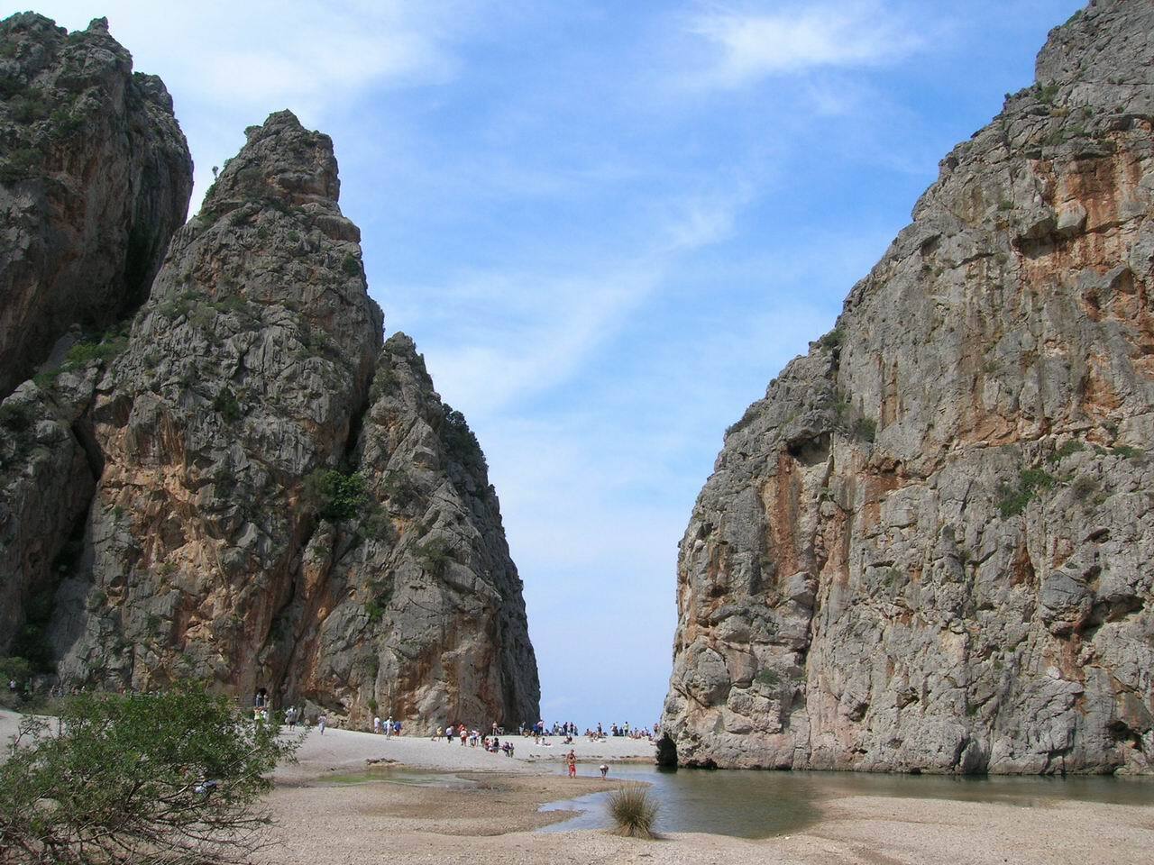
Torrent de Pareis
Escorca – Sa Calobra
Experienced hikers only
- Difficulty:
- Very demanding / technical
- Duration:
- 5–6 hours as a guide, with considerable variation
- Type:
- Linear
Descent of Mallorca's most famous canyon, with down-climbs, boulders and technical steps. It is not a conventional tourist walk.
⚠️ Going with a professional guide is strongly recommended. Do not enter in rain or forecast rain, storms, damp conditions in the torrent, extreme heat or on wet rock. There is a risk of flash floods, falls and dehydration, and there is no phone coverage along much of the route.
Long-distance routes and natural parks
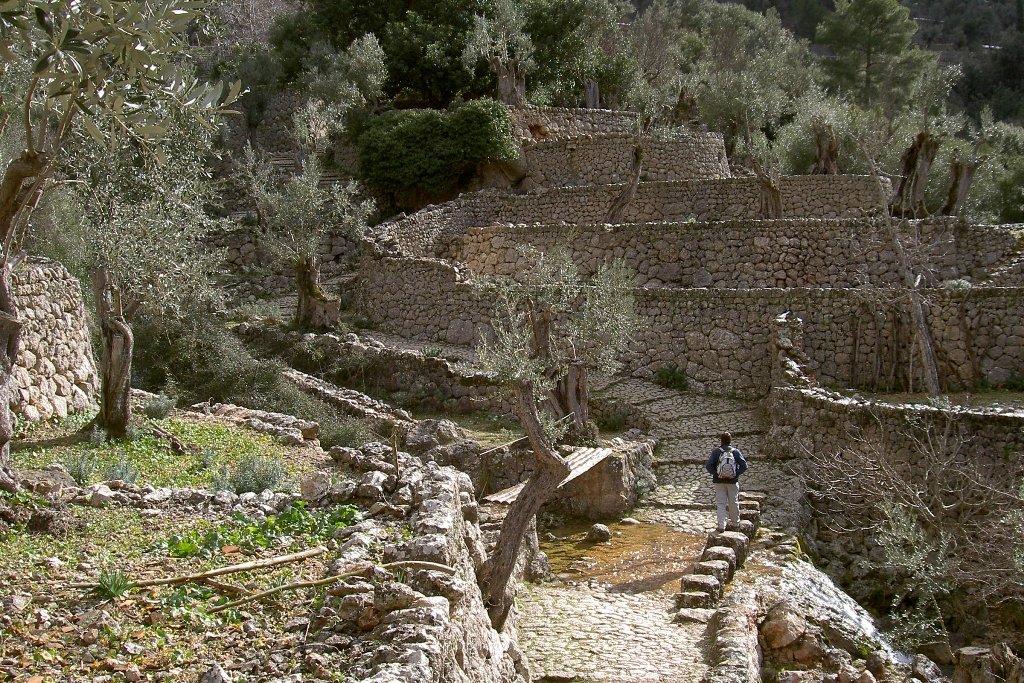
GR 221 — Ruta de Pedra en Sec
Serra de Tramuntana
- Difficulty:
- Varies by stage
- Duration:
- Long-distance route divided into stages
- Type:
- Linear
Long-distance path crossing the Serra de Tramuntana along historic dry-stone trails, with refuges along the way.
⚠️ Check the Consell de Mallorca official website for open stages, variants, refuges and incidents before setting out.
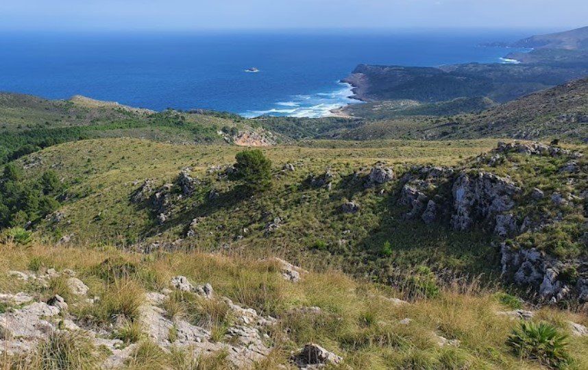
Parc Natural de la Península de Llevant
Artà
- Difficulty:
- Various levels
- Duration:
- Numerous itineraries of differing length
- Type:
- Several itineraries
Natural park in the north-east with several official waymarked itineraries across low hills, holm-oak woods and coastline.
⚠️ It is not a single route: choose the itinerary according to your fitness, the temperature and the time available.
Hiking safety
- Avoid the middle of the day during heat episodes.
- Do not enter torrents if it has rained or there is a risk of storms.
- Respect private property and trail signage.
- Leave no litter: take everything back with you.
- Do not rely on Google Maps alone to navigate in the mountains.
Themed route
Literary route — Walking on Words
Cultural itinerary through the places in Mallorca linked to writers and literature. It is not a mountain route: it runs through villages and roads.
Place of interest
Castell de Santueri — Felanitx
Medieval rock castle above Felanitx, with views over the south and east of the island. Listed as a place of interest, not as a hiking route.